
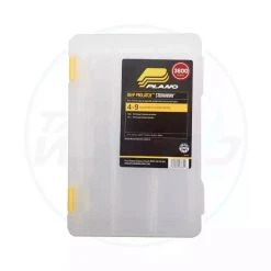
-33%
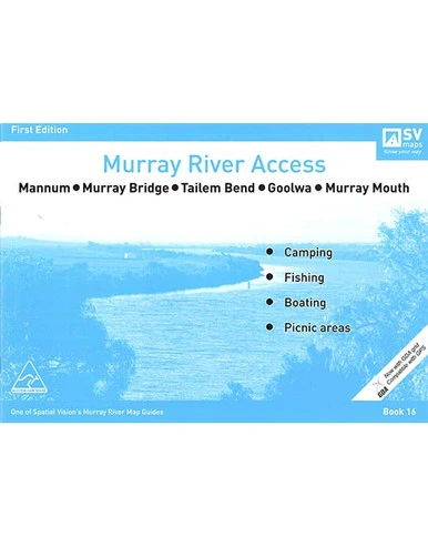
Books Murray River Access Map 16 Mannum To Murray Mouth
Original price was: $8.99.$6.02Current price is: $6.02.
- Effortless solutions, excellent customer care.
- Quality products, fair prices.
- Service that stands out, online and always timely.
- Secure Payments, Secure Shopping

Murray River Access Map 16 Mannum To Murray Mouth
Spatial Vision’s series of Murray River Access Maps are the best way to find camping, fishing and boating spots along the Murray River. Also includes information on parks and forests, and major walking tracks.
Specifications:
- SCALE: 1:25,000, and 1:100,000 coverage of Lake Alexandrina
- COVERAGE: Mannum, Murray Bridge, Tailem Bend, Milang, Meningie, Goolwa
- IDEAL FOR: Bushwalking, camping, houseboating, fishing, exploring
- EDITION: 1
- SIZE: A4 – 297mm wide by 210mm high. 36 page booklet
- SPECIAL FEATURES: Each map now shows a GDA grid which is compatible with GPS.
Be the first to review “Books Murray River Access Map 16 Mannum To Murray Mouth”
Related products
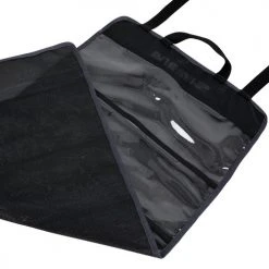
-22%

Original price was: $14.99.$11.69Current price is: $11.69.
-26%

Original price was: $129.95.$95.99Current price is: $95.99.
-26%

Original price was: $19.99.$14.79Current price is: $14.79.
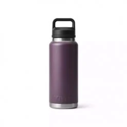
-79%


Original price was: $449.95.$93.99Current price is: $93.99.
-84%

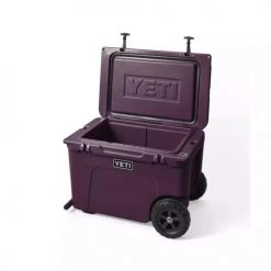
Original price was: $599.95.$98.99Current price is: $98.99.
-21%

Original price was: $69.95.$55.26Current price is: $55.26.
-33%

Original price was: $35.99.$24.11Current price is: $24.11.
-35%

Original price was: $39.99.$25.99Current price is: $25.99.
Reviews
There are no reviews yet.